
Project Description
The Stream Restoration Program is intended to restore degraded stream channels and protect adjacent infrastructure at various Parks throughout Montgomery County. This project makes corrective improvements to damaged stream channels, outfall channels, floodplains, and tributaries.
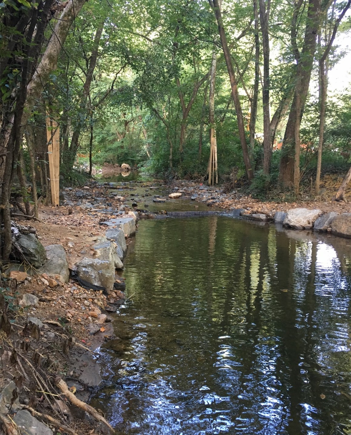
The prevention of continued erosion and improving the aquatic habitats in our local eco-systems are the key goals of our stream restoration program. Stream restoration projects are examined from a watershed perspective to identify and control the source of the problems. The use of rock and wood revetments (i.e, cross vanes, j-hooks, rock sills, riffle grade controls, root wads), in association with reforestation, floodplain enhancements, and other stream protection techniques are utilized for best results.
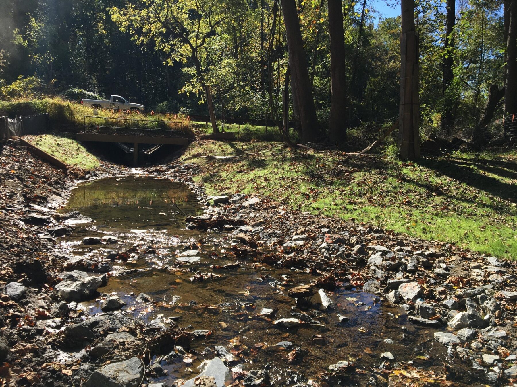
Stormwater outfalls (locations where concentrated flows of stormwater are released back into nature) are located throughout our Park system. Due to impervious surfaces upstream, the stormwater often enters our parks at high velocities, causing erosion and degradation of our stream valleys. By using sustainable techniques to stabilize these eroded outfalls in our stream valleys, we can protect both natural areas and infrastructure (trails, playgrounds, recreational open space, athletic fields, etc) from flooding, erosion, and degradation. We can also slow the water down and create habitat. This strategy keeps our facilities safe while improving habitat and ecological function.
As outfalls eventually flow into stream channels, many projects address both Stream Restoration and Sustainable Outfall Stabilization wholistically to help enhance our riparian areas and stream valleys as a whole.
Background
Montgomery Parks is regulated by a National Pollutant Discharge Elimination System (NPDES) permit. This permit serves to regulate sources of stormwater pollution in the parkland. Parks has a strong commitment to environmental protection and stewardship of natural resources. Even prior to receiving an NPDES permit, Parks staff took steps to protect water resources and prevent pollution. As a result of development in urban and suburban watersheds, stream channels are subject to increased stormwater flows that result in severely eroded stream banks.
Montgomery Parks contain approximately 600 miles of streams that provide valuable wildlife habitat and recreational opportunities. Stream erosion problems include stream sedimentation, destruction of aquatic habitat, undercutting of stream banks, blockage of fish migration routes, loss of floodplain access, tree loss, damage to Park infrastructure (i.e., bike paths, bridges, utilities, and other improvements), etc. As stewards of these aquatic resources, specialized staff applies and implements a wide variety of stream restoration practices that maximize ecological competency in Montgomery County’s most urbanized watersheds.
Current Stream Restoration & Outfall Stabilization projects
*Timelines subject to change.
| Park Name | Project Location | Project Details | Current Status (Last Updated 4/9/26) |
|---|---|---|---|
| Wheaton Regional Park | Glenallan Tributary between Georgian Woods Place and Glenallan Avenue | Stream restoration of 1500 linear feet and outfall stabilization of 300 linear feet | Complete |
| Paint Branch Neighborhood Park, Tamarack Neighborhood Park, and Paint Branch Stream Valley Unit 6 | Outfalls near Northcrest Drive, Peacock Lane, and Collingwood Terrace, as well as tributary near Lemontree Lane | Stream restoration of Lemontree Tributary and outfall stabilization of Northcrest, Peacock, and Collingwood Outfalls | Under Construction |
| Great Seneca Stream Valley Unit 1 | Outfall near Desmet Place | Outfall stabilization of 500 linear feet | Under Construction |
| Wheaton Regional Park | Tributary near Parker Avenue | Stream restoration of 700 linear feet | Complete |
| Indian Spring Terrace Local Park | Outfall between I-495 and Flower Avenue | Outfall stabilization of 300 linear feet | Complete |
| Great Seneca Stream Valley Park Unit 2 | North Creek (a Great Seneca Creek tributary) near Watkins Mill and Apple Ridge Roads | Stream restoration of 1,950 linear feet | In Design (90%) |
| Rock Creek Regional Park | Stream and outfalls near Lake Terrace and Norbeck Road | Stream restoration and outfall stabilization of a total of 2,800 linear feet | Design Complete (100%) |
| Cabin John Stream Valley Unit 3 | Carderock Springs Tributary between Fenway Road and River Road | Stream restoration of 500 linear feet | In Design (60%) |
| Rock Creek Stream Valley Unit 3 | Outfall between Howard Avenue and Beach Drive | Outfall stabilization of 500 linear feet | In Design (90%) |
| Strathmore Local Park | Outfall and tributary near Beaverwood Lane and Gate of Heaven Cemetery | Stream restoration and outfall stabilization of a total of 300 linear feet | In Planning |
| Muddy Branch Stream Valley Unit 3 | Rich Branch between Frances Green Drive and Manifest Way | Stream restoration of 500 linear feet | In Design (90%) |
Maryland State Highway ICC Mitigation Projects in Parks
The Maryland State Highway Administration (SHA) is responsible for coordinating site closeout for all Compensatory Mitigation (CM), Environmental Stewardship (ES) and Community Stewardship (CS) sites associated with the Maryland 200 Intercounty Connector (ICC) Project in cooperation with Maryland Transportation Authority (MDTA) to finalize the mitigation package with regulatory agencies. Several sites have been identified for remediation and they require additional action to advance them to closeout. For more information, visit the Maryland State Highway Administration’s project website.
| Park | Type of Mitigation | Project Timeline |
|---|---|---|
| Flower Valley Neighborhood Park and Rock Creek Regional Park (NB-3) | -Rock sill remediation, scour hole repair, install salvaged streambed material -Tree protection and brush bundle removal -Landscape planting installation | Construction Complete; Demobilization and Planting ongoing |
| Upper Paint Branch Stream Valley Park (PB-108) | -Floodplain and stream restoration along Paint Branch -Tree planting within a portion of the stream valley adjacent to and within the floodplain | Construction Complete; Demobilization and Planting ongoing |
| Norbeck Meadows Neighborhood Park (NB-1) | -Install salvaged streambed material -Tree protection and brush bundle removal -Installation of tubelings | Construction Complete; Demobilization and Planting ongoing |
| Peachwood Neighborhood Park and Upper Paint Branch Stream Valley Park (PB-119) | -Structure remediation, rock silt remediation, thalweg reestablishment -Tree protection removal -Landscape planting installation | Construction Complete; Demobilization and Planting ongoing |
| Northwest Branch Recreational Park (NW-170) | -Floodplain and stream restoration -Tree planting within a portion of the stream valley adjacent to and within the floodplain | Construction Complete; Demobilization and Planting ongoing |
- Cabin John Stream Valley Park
- Collingwood Outfalls and Lemontree Tributary Restoration: Site Walk
- Flower Valley Neighborhood Park
- Great Seneca Stream Valley Park
- Indian Spring Terrace Local Park
- Muddy Branch Stream Valley Park
- Norbeck Meadows Neighborhood Park
- Northwest Branch Recreational Park
- Paint Branch Neighborhood Park
- Paint Branch Stream Valley Park
- Peachwood Neighborhood Park
- Rock Creek Regional Park
- Rock Creek Stream Valley Park
- Strathmore Local Park
- Tamarack Neighborhood Park
- Upper Paint Branch Stream Valley Park
- Wheaton Regional Park